
Albuquerque ZIP Codes in Context
The City’s 48 by 36 ZIP map is an orientation source for the major Albuquerque-area delivery labels. It should be read with the full address and not as a postal validation tool. The coverage table preserves the areas shown on that City map. “Albuquerque” in the delivery note identifies the map’s local orientation, not a promise that every address with that label lies inside the municipal boundary. USPS verification remains necessary for an individual delivery address.
| ZIP | Areas covered on City map | Post office or delivery note | Record-search caution |
|---|---|---|---|
| 87102 | Downtown and central core | Albuquerque | Use full quadrant and block. |
| 87104 | Old Town and north-central area | Albuquerque | Historic names can overlap newer delivery geography. |
| 87105 | South Valley and Barelas-side area | Albuquerque | Broader delivery geography can reach beyond City limits. |
| 87106 | University and central-southeast area | Albuquerque | University identifiers may be institution-specific. |
| 87107 | North Valley and north-central area | Albuquerque | Confirm City and County boundary in AGIS. |
| 87108 | Southeast area | Albuquerque | USPS label transition affects 87115; verify the address. |
| 87109 | Northeast and north-central area | Albuquerque | Use address number and quadrant, not ZIP alone. |
| 87110 | Central and midtown area | Albuquerque | Planning districts can cross the delivery area. |
| 87111 | Northeast area | Albuquerque | AGIS parcel and street data are more precise. |
| 87112 | Northeast and foothill-side area | Albuquerque | Retain the NE designation for Recorder work. |
| 87113 | North area | Albuquerque | Delivery status is controlled by USPS. |
| 87114 | Northwest outer area | Albuquerque | May span City-adjacent geography. |
| 87116 | Kirtland and southeast area | Kirtland AFB Post Office, 1400 1st St SE | Address eligibility still needs USPS lookup. |
| 87117 | Kirtland-labeled area | Kirtland-related special routing | Do not assume normal street delivery. |
| 87120 | West Mesa area | Albuquerque | Map scope reaches City-adjacent areas. |
| 87121 | Southwest Mesa area | Albuquerque | Confirm exact address and jurisdiction. |
| 87122 | Northeast heights and foothill area | Albuquerque | Orientation only, not an address match key. |
| 87123 | East and southeast foothill area | Albuquerque | Use street number and quadrant for parcel work. |
| 87131 | UNM-labeled area | Albuquerque and UNM context | Institutional labels can differ from nearby delivery labels. |
The codes are a starting geography for the ZIP code directory, not a list of City residents. The City map also shades areas beyond the municipal boundary, which is why a delivery label must be kept separate from government jurisdiction.
Albuquerque ZIP Code Map Layer
The City ZIP-code map supplies broad orientation. It labels 87102, 87104 through 87114, 87116 through 87117, 87120 through 87123, 87131, and north-side labels such as 87113 and 87114. Its 2012 publication date matters: use it to understand the spatial pattern, then check a current delivery address through USPS rather than normalizing a record from the map alone.
Census geography guidance distinguishes ZIP Codes, which are delivery routes, from ZCTAs, which are generalized statistical approximations. Neither is a stable parcel polygon. City AGIS is the local map layer for municipal limits, recognized neighborhoods, parcels, and streets. The Assessor and Recorder are the record layers that connect a confirmed address to a parcel and legal description.
Note: Keep the mailing city, ZIP, municipality, County, tax year, and parcel identifier as separate fields in an Albuquerque research note.
Find Residents Within an Albuquerque ZIP
A ZIP-wide person search is not a confirmed feature of the official local portals reviewed. The Voter Portal’s browser-dependent route did not expose a verified ZIP filter, and the documented voter-data route has a public and protected-field split. The useful workflow is narrower: use a ZIP to verify a delivery address and geographic context, then search address-capable County and City records. Once a confirmed address is in hand, the Albuquerque street directory has the fuller street-by-street parcel and document trail.
- Verify the specific delivery address with USPS and retain the complete number, street type, quadrant, unit when public, and ZIP.
- Use City AGIS to locate the address, parcel context, municipal boundary, and recognized-neighborhood layer.
- Open the Assessor card by address or parcel identifier and record its PARID, selected tax year, situs, legal description, and document number.
- Use the Treasurer’s address or Parcel ID search with its tax-year selector to confirm tax-roll context.
- Use the legal description or document number in Recorder Documents for a dated instrument trail; direct a defined voter-record question to the Secretary of State data procedure or County Clerk.
ZIP data adds orientation. It does not change the fact that the Assessor, Treasurer, Recorder, AGIS, and Planning systems use different address or property keys.
Albuquerque ZIP Code Search Fields
Because no confirmed official ZIP-filter portal was captured, a truthful ZIP code directory workflow does not invent one. The search fields below are used after the delivery address is checked. They show why a ZIP must become an address, PARID, legal description, or document number before County records can be joined. The Treasurer’s own help says to omit the street suffix, and it provides examples for street searches and parcel wildcards.
| Local portal | Verified starting fields | How ZIP fits the process |
|---|---|---|
| County Assessor | Address, owner name, parcel identifier, and selected tax year | Use a verified address to obtain the PARID, situs, legal description, and document number. |
| County Treasurer | Address Number, Street, Parcel ID, Tax Year, and sort | ZIP is not a stated filter; it helps retain the correct delivery address before the tax search. |
| Recorder Documents | Grantor, grantee, date, document number, book/page, legal-description fields, parcel number, and type | Use the address-derived legal description or document number rather than ZIP. |
| ABQ-PLAN and OnBase | Address, permit number, contractor, date, project name; certificate route uses number, street, quadrant, or permit number | Use the full street address after postal validation. |
| Voter Portal | No live field list confirmed in the reviewed session | Do not claim a ZIP filter; use the official data procedure or County Clerk for a specific lawful question. |
The U.S. District Court’s Albuquerque page is the source linked to the following image.
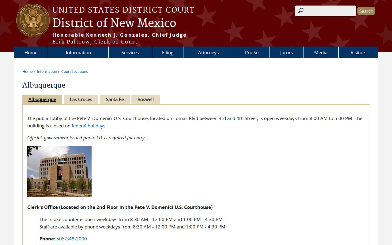
Court records do not become local parcel records because an address shares a ZIP. Federal matters follow the separate PACER and courthouse-terminal route, while state-court access uses the New Mexico court system.
Albuquerque ZIP Code Definitions
Postal terms should not be used as if they were County property identifiers. The definitions below keep delivery verification distinct from the map, tax, and recorded-document chains used for a specific Albuquerque address.
- ZIP Code
- A USPS delivery-routing label. It can orient a search, but it is not a parcel identifier or municipal-boundary line.
- ZIP+4
- An additional routing segment attached to a ZIP Code for more precise delivery sorting. Verify it with USPS for the exact address.
- PO-box ZIP
- A postal label tied to box service. It should not be treated as proof of a conventional street-delivery area.
- Unique ZIP
- A ZIP associated with a particular institution or routing context, which can differ from nearby address labels.
- Carrier route
- A delivery sequence used by USPS. It is not the same thing as a parcel boundary, neighborhood, or City district.
The map’s UNM and Kirtland contexts show why this distinction matters. An institutional or special routing label needs an address-level check before it is used in a record search.
ZIP Edges Beyond Albuquerque Limits
A mailing city and a City boundary do not always describe the same geography. The City map visibly shades areas outside the municipal boundary, while AGIS maintains municipal limits as a separate layer from parcels, streets, and recognized neighborhoods. An address in a broad Albuquerque delivery area can therefore require a County or jurisdiction check before a City office is asked for records. ZIP coverage is helpful context, not a records-custodian decision.
The Albuquerque City Clerk public-records page directs requests for records held by another government to that custodian. It accepts City IPRA requests through its records portal, by mail, or in person. The request should identify a real record with details such as department, address, date range, project, or case number, rather than ask for a new list built from a ZIP.
That routing rule keeps a City request aligned with the City’s own records while County parcel and deed questions stay with their proper custodians.
The New Mexico Attorney General’s IPRA guidance accompanies the next ZIP code directory image.
New Mexico IPRA provides an inspection route for existing governmental records. It does not override confidentiality laws or require a public body to create a ZIP-based person list.
Boundary check. Confirm the delivery address, municipal boundary, and records custodian separately before relying on any Albuquerque ZIP label for a public-record request.
Albuquerque ZIP Labels Change
Historical ZIP labels need dates. USPS publications identify special or label-only codes that can appear in Albuquerque mailing data, including 87103, 87115, 87117, 87125, 87158, 87185, 87194, 87196, and labels such as 87151 and 87195. They should not be presented as ordinary area ZIPs without an address-level USPS result. USPS also discontinued 87118 effective October 1, 2004 and directed use of 87116. Preserve the older code in a historical record and verify a modern address instead of silently rewriting it.
The New Mexico Legislature’s Senate Bill 192 status page is the source shown in the following Albuquerque ZIP code directory image.
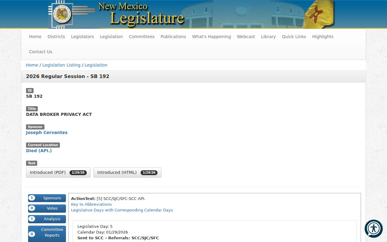
The 2026 proposal died and is not an operative statewide deletion or opt-out law. Its status is a useful reminder to distinguish current law from a proposal and to confirm an address with the responsible postal or records custodian.
Central Avenue ZIP Code Checks
Albuquerque’s rail and Central grid is a second address check after the ZIP. Rail lines divide north and south, and Central Avenue divides east and west. The relationship changes around the Rio Grande. A street number without NE, NW, SE, or SW can point a record search toward the wrong place even when the ZIP looks familiar. Retain the full directional address before opening the Assessor or Recorder.
Older sources introduce another layer. Railroad Avenue became Central Avenue in 1907, and New York Avenue became Lomas. Search old and modern names when the date calls for it, then use the parcel’s legal description to test the match. A current City naming process is another reason to retain the date of the address source.
The City’s Avenida Cesar Chavez naming-update notice is the source for the following image.
The City described continued public input in April 2026, not a completed change. Check City GIS and official maps when a corridor’s name is under review.
Albuquerque ZIP Code Record Keys
The durable path from a postal address to a property record is four layers: delivery verification, AGIS mapping, the Assessor parcel card, and the Recorder’s legal-description or document-number search. The Assessor uses situs address, PARID, legal description, and owner or mailing fields. The Treasurer accepts street or PARID with a tax year. Recorder Documents centers on legal descriptions, parties, and document numbers. ABQ-PLAN uses its own address and project fields. These systems are complementary because they do not treat ZIP as an interchangeable key.
For a current property trail, begin with the full verified address and map it. Save the parcel or legal description shown, check the Assessor PARID and selected year, then use that legal description or document number in the Clerk index. For a project question, use the complete address in the Planning route. This ZIP code directory sequence remains tied to a defined place and a dated record instead of extending a broad postal area into a claim about people.