
Albuquerque Previous Residents by Era
A backward address trail uses a source that fits the date. The Bernalillo County Recorder supplies the recorded-instrument chain. The Assessor supplies the current parcel starting point and selected tax-year context. Directories can provide a year-stamped printed listing, while the State Archives, federal census microfilm, permits, and Sanborn maps cover different historical layers. Past residents should never be inferred from a building record alone or from a property mailing line alone.
| Source | Years it covers | Where held | What it shows |
|---|---|---|---|
| Recorder Documents | Portal statement: January 1, 1800 to July 6, 2026 | Bernalillo County Clerk online index | Recorded instruments, parties, legal description, and document number |
| State Archives county sources | General county holdings, 1850 to 1912 | New Mexico State Archives | Older deeds, clerk books, tax, probate, and court context |
| City directories | Library guide: 1908 to present; earlier verified waypoints include 1886, 1905 to 1906, 1913 to 1917, and Hudspeth from 1919 | Special Collections and UNM routes | Dated listings; some volumes may have an address-ordered section |
| Federal census microfilm | 1850, 1860, 1870, 1880, 1885, 1900, 1910, and 1920 are listed | State Archives | Household snapshot for the listed census year; 1890 population schedules are lost |
| City permit data | Metadata describes 1990 forward; a download page describes 2009 to 2025 | City Planning / GIS | Address-linked project, permit, or event chronology |
| Sanborn map | Verified Albuquerque edition: April 1898, 13 sheets | Library of Congress and Special Collections route | Building footprint, use, and street context, not a household list |
Start with the most recent property record when the address is known. Move to the Recorder for a transfer document, then choose directory, census, map, or permit material that matches the time period. A gap in one system is common, especially for older books and unscanned material. It is a prompt to use the next custodian, not a reason to invent a missing step.
Albuquerque Previous Residents and Parcel Keys
The Bernalillo County Assessor property card is the correct starting point for a known Albuquerque address. After accepting its disclaimer, capture the PARID, selected tax year, situs or location address, legal description, document number, and any displayed owner and mailing lines. The card may contain building and land attributes as well. It warns that assessment information may be incomplete, preliminary, or not current, so record what was shown for the selected year rather than treating it as a timeless statement.
The situs is the parcel's physical address. A mailing line is where tax correspondence is sent. When those fields differ, the difference is not proof that a person was present at either location. The legal description and PARID are the durable join between an Albuquerque street address and a Recorder document. They reduce false matches when an address has been abbreviated, renumbered, divided into units, or changed at a corner.
Bernalillo County Assessor Public Access is the official route to the property-card starting point. The County Treasurer tax search can then confirm an address or parcel in a selected tax year. Its public tip says not to add a street suffix when entering the street field.
Note: Save the PARID and legal description before changing systems, because both are more stable than a historic street label.
Albuquerque Previous Residents in the Deed Chain
The recorded deed chain addresses ownership history, not every past household. Begin with the Assessor document number if one is available. Otherwise search the Recorder by legal description, then narrow with an owner name and recording-date range. Read the instrument type and the named parties. For a transfer deed, the grantor is the immediate earlier owner-of-record lead. Search that grantor as a grantee in older material to locate an earlier acquisition, then repeat with the same legal description.
- Capture the current Assessor card, including its PARID, selected tax year, legal description, and document number.
- Search Recorder Documents by document number. If that does not resolve the record, use the full legal description and a narrow date range.
- Confirm the document type, recording date, grantor, grantee, document number, and legal description before adding a chain step.
- For a transfer deed, use the prior party in the reverse role to look for that person's earlier acquisition.
- Repeat backward, preserving the legal description each time and separating deeds from liens, releases, plats, easements, and other instruments.
- Ask the Clerk or consult the State Archives route when an older image, deed book, or ambiguous index result needs inspection.
- Grantor
- The party transferring an interest in a recorded instrument. A transfer deed's grantor can be an earlier owner-of-record lead.
- Grantee
- The party receiving an interest in a recorded instrument. In a transfer deed, this party becomes the next ownership lead to check.
- Chain of title
- A dated sequence of transfers tied to the same legal description. It is built from the actual instruments, not from guesses based on tax data.
- Legal description
- The recorded parcel description, such as subdivision, lot, block, tract, unit, or section-township-range detail. It is more reliable than a street label for older work.
Albuquerque Previous Residents Recorder Searches
The Bernalillo County Recorder Documents index offers controls that make a careful backward search possible. Its posted certified-record statement runs from January 1, 1800 through July 6, 2026. The statement does not establish when each image type was scanned or that every historical item is equally complete online. The Clerk describes its electronic data as a public service rather than a certified statement of authenticity, so use the custodian's copy or certification route when that level of proof is needed.
| Name controls | Last name, first name, plus separate Grantor and Grantee fields. The help says surname first, with no punctuation. |
|---|---|
| Date controls | Recording Date Start and End in mm/dd/yyyy form, useful for separating same-name results. |
| Document controls | Document Number, Book/Page, document types, and Remarks/Notes. |
| Legal-description controls | Subdivision, Lot, Block, Tract, Unit, Quarter, Section, Township, Range, and Legal Remarks. |
| Parcel control | Parcel Number, which can join the recorded index to the property-card research note. |
| Help behavior | Spaces act as an OR condition, a plus sign requires a term, and the help provides wildcard guidance for Legal Remarks. |
Do not assume every indexed item changes ownership. A mortgage, release, assignment, lien, easement, plat, or map needs its own interpretation. The document type and parties establish what the recorded item is. An index no-result may reflect spelling, range, image availability, indexing, or a different record series.
Albuquerque Previous Residents on Old Streets
Historic street names can break an otherwise careful address trail. Railroad Avenue became Central Avenue in 1907, and Lomas was formerly New York Avenue. Use both terms for a date near the change, while retaining the street number, quadrant, and source date. Albuquerque's four-quadrant grid makes the directional suffix part of the address. A result missing NE, NW, SE, or SW should be resolved through AGIS or the Assessor before it is matched to a Recorder document.
Old Town, the railroad-era new town, the river valley, and later annexed neighborhoods can also place older sources in a different geographic frame from a later Downtown reference. A similarity in street wording is not enough. Match the legal description, parcel context, map evidence, and date. The City's official Address Atlas route and its historical maps can help test the street bridge without replacing the county parcel record.
Note: A 1907 street-name change creates extra search terms, but it does not by itself prove that two entries concern the same address.
Albuquerque Past Residents and Households
Ownership and a dated printed listing answer different questions. The Public Library and UNM holdings guide identifies Albuquerque city directories from 1908 to the present, while NPS documentation identifies older 1886, 1905 to 1906, 1913 to 1917, and Hudspeth-from-1919 waypoints. A reverse or criss-cross portion can translate an address into a name only when that particular volume contains one. Ask Special Collections to check the target year. Do not assume a reverse section exists across every run.
Pair a directory observation with the nearest relevant census year, then compare the same period's newspaper and the property's deed chain. The State Archives lists census microfilm for selected nineteenth- and twentieth-century years, with the 1890 population schedules missing. UNM's digital newspaper resource can help locate spelling variants, street references, obituary notices, or organizational context. Legal events still need confirmation at the Clerk, court, or vital-record custodian.
For collection details and how to read a volume's printed notation, use the Albuquerque city directory collections. Keep a directory's publication date separate from a recorded transfer date, because neither one supplies an exact move date.
Lawful use. Albuquerque address research can support family history, estate questions, and the history of a property. Do not use a record trail to stalk, harass, intimidate, or make repeated unwanted contact with a living person. Safe at Home and restricted court and vital information remain protected.
Albuquerque Previous Residents and Maps
Maps and plats explain the physical setting of an address. They do not identify a past household. The Library of Congress has a verified April 1898 Albuquerque Sanborn edition with 13 sheets. Its building footprint, use, and street context can help decide which directory or deed description to investigate. The research did not establish a complete local Sanborn edition list, so use the catalog or Special Collections reference staff to identify the appropriate sheet and year.
AGIS is the visual join for a current parcel, while the Assessor supplies the parcel join and the Recorder supplies the document join. A plat can explain a shared block or a subdivided lot, but it is not a transfer by itself. City permit and certificate records may add a dated project event. They remain evidence of a project or regulatory event, not a complete account of who lived at the address.
Albuquerque Previous Residents at Trail Endpoints
A chain can end at an unscanned historic record, an unclear trust or entity, probate, or a restricted vital record. Do not fill the break with a conclusion. For a corporate or trust party, use the actual recorded instrument first, then check the relevant Secretary of State entity record. A business filing or its listed mailing information is not a substitute for the parcel's legal description or a dated address listing.
New Mexico Secretary of State business services is the official entry for entity, UCC, trademark, notarial, and related filing services.

Use an entity result to identify filing facts and references, then return to the Recorder document to evaluate a parcel connection.
A probate file can identify estate administration and notices, while a death record is issued under New Mexico's restricted vital-record rules. Death records become public 50 years after death under the stated statutory conditions; otherwise access is limited to qualifying people or a person with tangible legal interest. The official process should be used for the defined record type, not as an address shortcut.
New Mexico Department of Health death-record guidance states the eligibility and issuance channels for that record type.
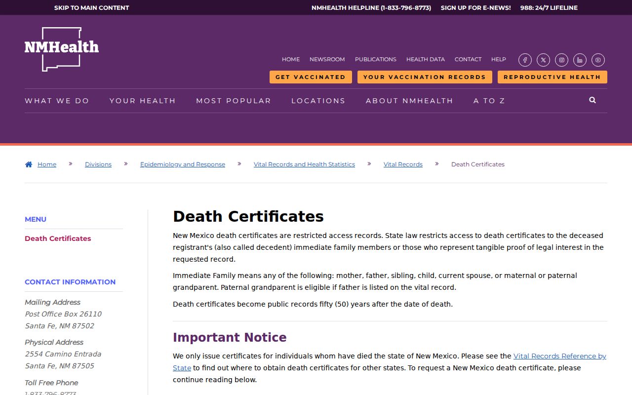
The availability rules remain separate from the historical address trail, even when a death or estate is a useful date boundary.
A name in unclaimed-property search results requires proof of identity, entitlement, and a past connection to the listed address before a claim can proceed. It does not prove a person's presence at an Albuquerque parcel.
The official New Mexico unclaimed-property search provides a separate claimant route.
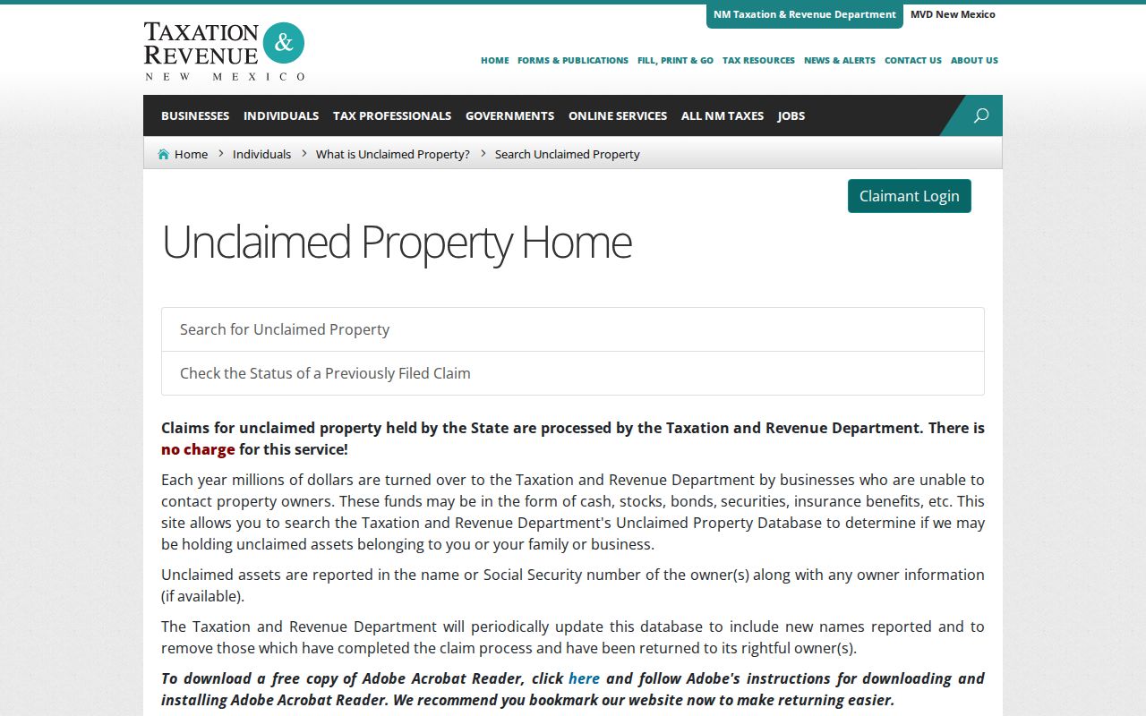
Keep any claimant result distinct from the deed, directory, and parcel records used to establish a dated address trail.