
Trace an Albuquerque Street Directory
Start with the address as it is written, including its directional quadrant and unit when that information is public. Albuquerque’s street layer carries street and address-range context countywide, while the parcel layer carries address and legal-description clues. That makes the City map the first spatial check, not the final ownership answer. A street-by-street search stays more reliable when the target is a short, map-defined segment instead of an entire road with many similarly named places.
The next joins are administrative. The Assessor links the mapped location to a PARID and tax-year card. The Treasurer supplies a tax-roll view for a selected year. The Clerk’s recorder index uses the legal description, parcel number, document number, parties, and dates rather than acting as a street list. A lawful voter-data question belongs with the documented state procedure or the Bernalillo County Clerk, because the browser-dependent Voter Portal did not expose a confirmed public street or ZIP search form.
- Open the City AGIS public maps and confirm the full address, quadrant, street range, and parcel context.
- Use Bernalillo County Assessor Public Access to save the PARID, selected tax year, situs, legal description, and document number shown.
- Check the same location in the County Treasurer tax search and retain the tax year displayed with the result.
- Send the legal description or document number to Recorder Documents, then read the instrument type, parties, date, and description together.
- For an older address listing, ask Special Collections whether the target volume has a reverse or criss-cross section, then compare the dated entry with the parcel trail.
That sequence separates an address clue from a documented property trail. It also keeps a record of ownership, a published listing, and a voter-data request from being treated as the same kind of evidence.
Albuquerque Street Directory Parcel Fields
The Assessor card is the strongest current starting point for an Albuquerque street directory search because it brings everyday address language together with the County’s durable parcel keys. Its observed field set includes the PARID, selected tax year, current owner and mailing lines, situs or location address, legal description, tax district, class, document number, building size, year built, lot size, land use, and style. The public-access disclaimer warns that assessment information may be incomplete, preliminary, or out of date, so capture the card as displayed for its tax year.
The relevant Assessor routes are address, owner-name, and parcel identifier. Owner-name searching can help distinguish a parcel already known from the map, but it is a poor substitute for first confirming the street address. The fields below are the local record keys that make the later Clerk search possible.
| Assessor entry or field | How it supports street research |
|---|---|
| Address | Locates the parcel after the public-access disclaimer is accepted. |
| Owner name | Helps distinguish a known parcel; it is not proof of physical presence. |
| PARID | Preserves the County parcel identifier for later tax-roll and document work. |
| Selected tax year | Dates the assessment context rather than presenting it as timeless. |
| Legal description and document number | Provide the bridge to Recorder Documents when a street label is ambiguous. |
The Albuquerque GIS data page is the source for the following street-directory map resource.
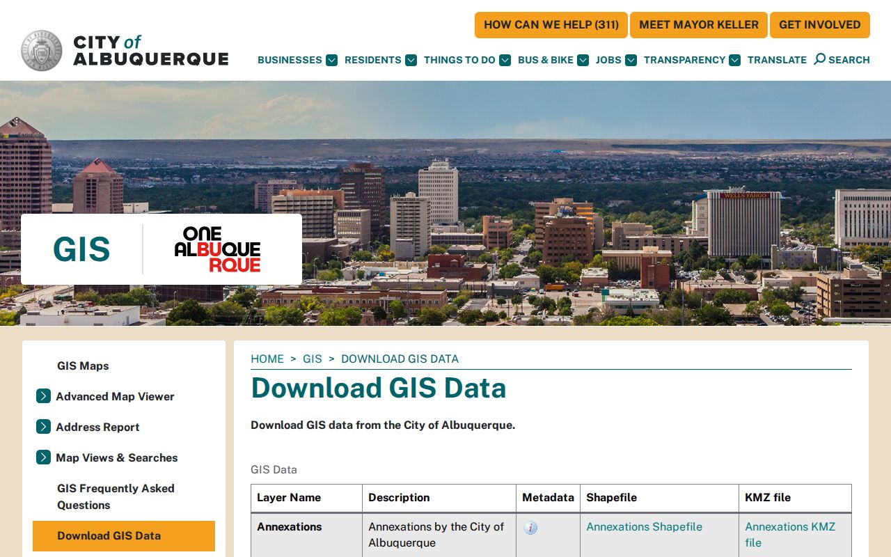
GIS context makes the Assessor entry easier to test against the street range and parcel position before a property card is used as a research lead.
Albuquerque Street Records by Address
Address-keyed records overlap, but none replaces the others. AGIS supplies spatial context. The Assessor provides a parcel card. The Treasurer gives the tax-year roll. Recorder Documents supplies a dated instrument trail, and City Planning records an address-linked project or certificate route. A historical directory or map can add a dated published address reference. The useful question is what a particular source supports, not whether it can produce a complete list of people along a street.
| Albuquerque street record | Custodian | What it supports | Access and limit |
|---|---|---|---|
| AGIS map and address atlas | City AGIS | Street range, parcel, neighborhood, and municipal-boundary context | Public map hub; a map does not establish ownership or title. |
| Property card | Bernalillo County Assessor | PARID, situs, mailing line, legal description, document number, and tax-year context | Public after disclaimer; not a real-time certification. |
| Tax roll | Bernalillo County Treasurer | Address or parcel context for a selected tax year | Public search; not a deed chain or resident identity. |
| Recorded documents | Bernalillo County Clerk | Grantor, grantee, recording date, type, and legal-description chain | Index statement begins in 1800; verify images and certification with the Clerk. |
| Permit, case, or certificate route | City Planning and Building Safety | A project or governmental event at an address | Separate permit, case, and certificate paths; not a person directory. |
| Directories and maps | Special Collections and related repositories | Time-stamped historical listing and street context | Check the selected volume; no universal reverse-directory run is verified. |
The Albuquerque GIS metadata describes the municipal parcel and street data behind the next street-directory image.
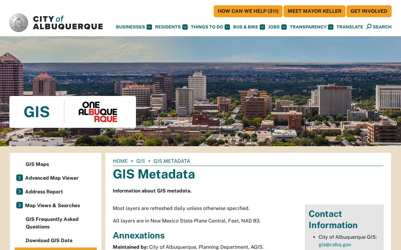
The City describes parcel data as city lots with address and legal-description fields and its streets layer as carrying street and address-range information countywide. Those layers need County-record corroboration before a title or occupancy conclusion.
Note: Preserve the source date and tax year with each street result so a later update is not mistaken for a contradiction.
Albuquerque Street Directory Definitions
Several local records terms look alike but do different work. Using the terms precisely is especially important when a street name is old, a lot has been divided, or the address has more than one unit. The legal description is normally the better bridge to a recorded instrument because the Recorder is designed around parties and property descriptions, not a broad address list.
- Parcel
- A defined piece of property used in the County’s assessment and mapping systems; its PARID is a useful research identifier.
- Situs address
- The physical location associated with the parcel. It can differ from the mailing line used for tax correspondence.
- Plat
- A recorded map or subdivision document that can explain lot layout, but does not by itself establish a household history.
- Criss-cross directory
- A reverse directory section that may organize a selected historical volume by address; ask Special Collections whether the target year includes one.
Keep the printed spelling, quadrant, and date from a historical volume. The City Museum guide identifies library and UNM city-directory holdings from 1908 to the present, while older title waypoints require checking the exact volume.
Albuquerque Street Quadrant Checks
A missing direction is a major address error in Albuquerque. Rail lines divide north and south, Central Avenue divides east and west, and the grid changes its relationship around the Rio Grande. NE, NW, SE, and SW therefore belong in the research note with the number, street type, unit when public, ZIP, tax year, PARID, and legal description. A result for a street name without its quadrant should remain unresolved until AGIS or the Assessor identifies the correct parcel.
The City’s official address material assigns that work through Bernalillo County Planning and Development Services at 415 Silver Avenue SW. The quadrant check also prevents a street-by-street search from confusing an orientation layer, a nearby number, or an association boundary with a tax parcel boundary.
The Bernalillo County Treasurer tax search is shown in the following Albuquerque street-directory image.
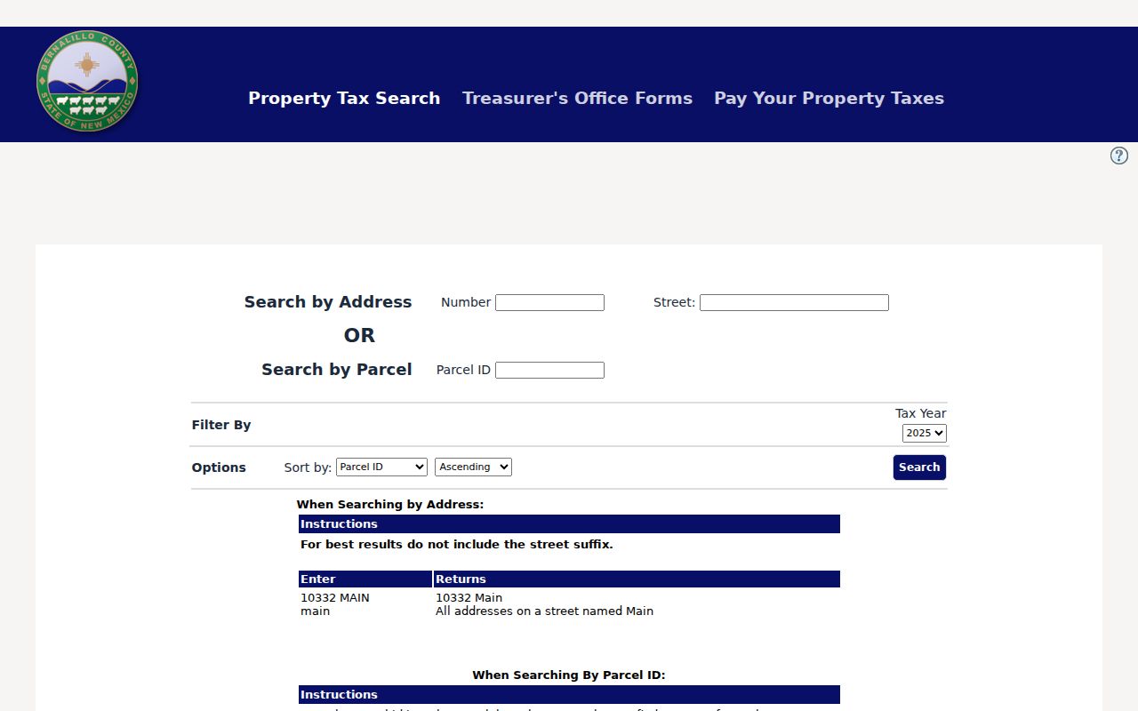
The Treasurer form supports Address Number, Street, Parcel ID, Tax Year, and sorting choices. Its help says to omit the street suffix, which is a useful local input rule rather than a reason to drop the quadrant from the underlying address record.
Albuquerque Street Deed Trail
The Clerk’s index turns an Albuquerque street directory result into a property-document trail only after the address has been converted to a legal description, PARID, or document number. Recorder Documents supports generic name, grantor, grantee, recording-date start and end, document number, book and page, subdivision, lot, block, tract, unit, section-township-range, legal remarks, parcel number, notes, and document-type fields. Its help calls for surname-first entries without punctuation and explains search logic for spaces, plus signs, and legal-remarks wildcards.
For a deed, read the parties, recording date, type, and legal description before taking the grantee as an owner-of-record lead. Then search that person in the grantor role to look for a later transfer. Mortgages, releases, assignments, liens, easements, and plats need their own interpretation. They do not automatically mark a transfer. The Clerk portal posts a certified-document coverage statement from January 1, 1800 through July 6, 2026, but image completeness still needs confirmation from the custodian.
The ABQ-PLAN public self-service route appears in the next address-record image.
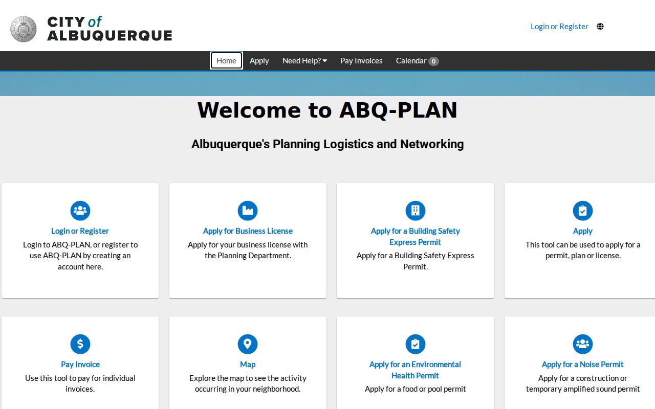
When a deed trail leaves an unexplained timing gap, a planning record can add a date-specific address event without becoming proof of a person’s presence.
Albuquerque Street Permit Eras
City permit and development-case systems have their own chronology. ABQ-PLAN is the current application. The City’s case-research material identifies POSSE/MESA for 2018–2025, Kiva for 2008–2018, Cognos for 1999–2008, and older prefixed cases before that. A result missing from the current interface can reflect a system era rather than the absence of an earlier address event. Preserve the case number, date, and source system before seeking help from the City.
Building Safety supports permit research by Address, Permit Number, Contractor, Date, or Project Name. Certificates of occupancy have a separate OnBase route: select “Building Safety - Certificate of Occupancy,” then use street number, street name, quadrant, or certificate and permit number. Both channels describe a project, case, or certificate connected to a place. Neither one creates a general listing of people on an Albuquerque street.
The City development-case research page supplies the historical-system context for this Albuquerque street-directory image.
The older-system sequence is a practical research clue. It directs an address question toward the correct era instead of treating a current search screen as a complete archive.
The City Building Safety permits page is the source linked to the next street-directory image.
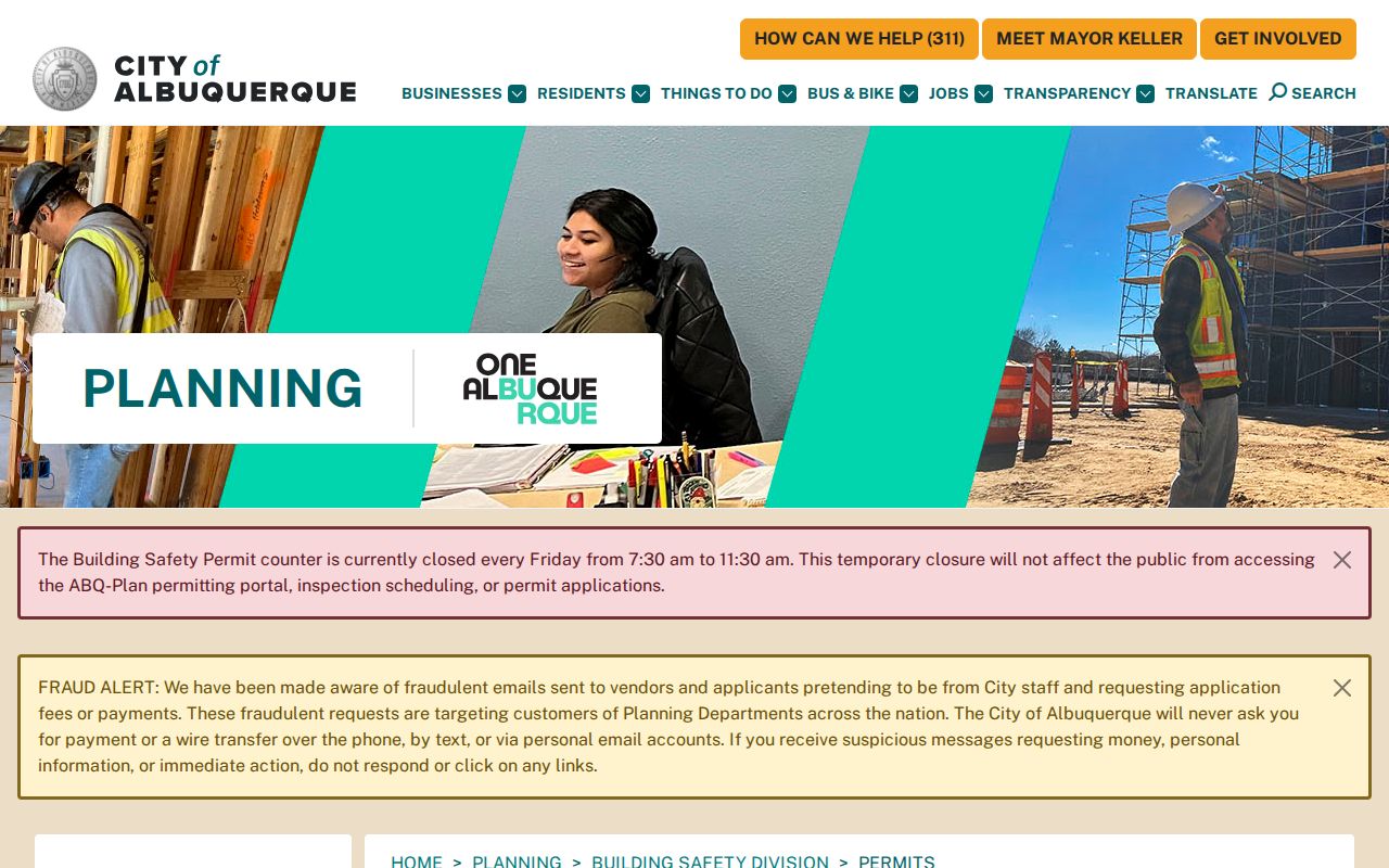
Its public counter is at Plaza del Sol, 600 2nd Street NW, and the Planning information lists 505-924-3860. The City noted a temporary Friday-morning schedule change in 2025, so verify current counter hours before travel.
Central Avenue's Earlier Albuquerque Name
Street history can defeat an otherwise careful address search. City historical material identifies Railroad Avenue as the railroad-era east-west name that became Central Avenue in 1907. It also identifies Lomas as formerly New York Avenue. A directory, map, deed notice, or newspaper from the earlier period may use the former wording. Search both labels around the transition and retain the form that appears in the source citation.
The historical bridge is more than local color. It helps distinguish a genuine old-address lead from a failed modern-label search. Where a name, block, or quadrant remains uncertain, use the legal description and parcel trail rather than forcing a match from a similar-looking street label.
Albuquerque Street Directory Archive Route
For older or incomplete document trails, the New Mexico State Archives primary-sources guide identifies county material from 1850–1912, subject to collection-level gaps. Its groups include county clerk books, deeds, marriage records, tax and assessor material, probate files, district-court records, poll and voter material, naturalization, land grants, and military records. It is the confirmed archival route when a Recorder result is missing or an earlier book needs inspection.
The Albuquerque-Bernalillo County Public Library’s Special Collections and the UNM-hosted library digital collection add city directories, telephone books, historic maps, street maps, neighborhood plans, photographs, and local-history material. These repositories provide a dated historical layer, not a universal current street directory.
Note: A gap in an online index is a prompt to identify the custodian or archive series, not proof that no record exists.
Limits of Albuquerque Street Searches
An address search cannot establish every fact about a place or everyone connected with it. An Assessor mailing line is tax correspondence, not proof that the owner is physically at the situs. A permit, case, or certificate marks a government transaction at an address, not a complete personal history. Apartments, suites, multi-parcel sites, parcel splits, nearby numbers, and unmatched quadrants all create false-join risks. A missing voter or tax-roll address is also not proof that someone never lived in Albuquerque because protected programs and record rules may limit what appears.
New Mexico voter data has both public and protected fields. The Secretary of State describes public voter information such as full name, residence address, precinct number, registration date, party affiliation, voting history, and year of birth, while excluding Social Security number, place of registration, day and month of birth, non-consented telephone numbers, and Safe at Home information. Voting history records participation, not ballot selections. For a defined governmental record, New Mexico IPRA is a route to existing records, not a requirement to create a new street list.
Lawful use. Albuquerque street records are for personal, lawful research and civic record questions. Do not use address information to stalk, harass, intimidate, or harm anyone.