
Albuquerque Neighbors by Block
Records about Albuquerque neighbors are most useful when they remain parcel-specific. City mapping gives street, boundary, and recognized-neighborhood context. The county property card supplies the selected tax year, PARID, situs, legal description, document number, owner line, and tax mailing line. The Recorder can connect a legal description to a dated instrument. Permits, directories, and association resources answer different questions. None of these systems is a universal household list, and a tax mailing line is not proof of who is at the physical address.
| Source | What It Shows About a Block | Access |
|---|---|---|
| City AGIS maps | Parcel and street context, municipal limits, planning maps, and recognized-neighborhood orientation | Public mapping gateway; confirm legal data in county records |
| Assessor property card | PARID, selected tax year, situs, owner and mailing lines, legal description, and document number | Public after the disclaimer |
| Recorder Documents | Recorded deeds, plats, liens, easements, releases, and related legal-description entries | Public index; Clerk handles certified copies |
| Planning and permit routes | Address-linked permit, certificate, or case activity | Public search routes vary by system era |
| Recognized-neighborhood materials | Civic area context and public association contacts when supplied | City list is voluntary and not comprehensive |
| Directories, maps, and newspapers | Dated historical block context and old street-name clues | Repository and volume rules apply |
Use the source that matches the question. A parcel card can identify an owner of record at a selected tax year. A recorded deed can document a transfer. A directory can place a published listing in a particular year. Each is useful evidence, but none should be stretched into an unsupported claim about every neighbor on the block.
Parcels Around an Albuquerque Address
The City AGIS Maps for the Public gateway is the visual start for an Albuquerque block. Map the target address, retain the street orientation and any visible parcel or neighborhood clues, then open the surrounding parcel cards individually. The City says its parcel layer covers city lots with address and legal-description fields, while its streets layer carries street and address-range information countywide. The advanced viewer did not yield a stable field-control inventory during research, so specific unverified tools are not assumed.
Next, use Bernalillo County Assessor Public Access to preserve the PARID, selected year, situs, legal description, document number, and the existence of a distinct mailing line for each adjoining parcel. The parcel’s situs is its physical location. A mailing line is for tax correspondence. Shared names, a shared mailing line, or similar legal descriptions can suggest a relationship, but the Recorder document must establish the actual legal connection.
Note: Record the NE, NW, SE, or SW quadrant every time because a street name without its quadrant can point to a different Albuquerque place.
Map an Albuquerque Neighbor Block
A block method works outward from the central parcel, not from a name list. It keeps the map, property card, and recorded document in sequence so that nearby numbers or adjacent lots are not collapsed into one record trail.
- Locate the target address in City AGIS and save the full street form, including its quadrant and visible parcel context.
- Open the central property card, then each immediately adjoining card. Record the PARID, situs, selected tax year, legal description, and document number.
- Use each legal description or document number in Recorder Documents. Read the document type and named parties before treating an entry as a transfer.
- Compare the same parcel across selected tax years and then check a narrow Recorder date range for a documented change.
- Use a permit, map, directory, or newspaper only as dated block context, and preserve the source’s date beside the note.
A full named-street record trail uses a broader sequence of address sources. The Albuquerque street directory is the appropriate route when the question moves beyond the immediate block.
Albuquerque Block Permit Events
Planning and building records add events to an Albuquerque block, not a roll of people. The City permit route supports Address, Permit Number, Contractor, Date, and Project Name searches. ABQ-PLAN is the current public path. Older development work can require the historical systems named by the City: POSSE/MESA for 2018–2025, Kiva for 2008–2018, and Cognos for 1999–2008. Certificates of occupancy have a separate OnBase path that uses street number, street name, quadrant, or a certificate or permit number.
Document the event date, record number, and system used. A permit, case, or certificate can establish that a governmental process concerned a place. It cannot establish who lived nearby. City GIS metadata describes building-permit data from 1990 forward, while the download page describes a 2009–2025 set. Keep those source periods separate rather than blending them into one coverage claim.
Albuquerque Neighborhood Civic Context
City-recognized neighborhood associations are a civic-context layer for Albuquerque neighbors. The Office of Neighborhood Coordination says its online list reflects associations that submitted information and does not include every local association. Its recognized-neighborhood materials include a map and list amended in September 2025. The June 2024 coalition map identifies North Valley, South Valley, SWAN, Westside, and district-based coalitions. These resources can identify an area and a public contact point. They should not be treated as private membership lists.
Office of Neighborhood Coordination
City route for recognized-neighborhood context and help identifying the association containing a property.
505-768-3334
Recognized Neighborhood Materials
Map and submitted association information for civic orientation. The list is not a complete catalog of local associations.
Coalition Map Context
North Valley, South Valley, SWAN, Westside, and district-based coalitions provide area-level context, not a resident roster.
The Albuquerque neighborhood websites directory is the recorded public-contact source for this civic layer.
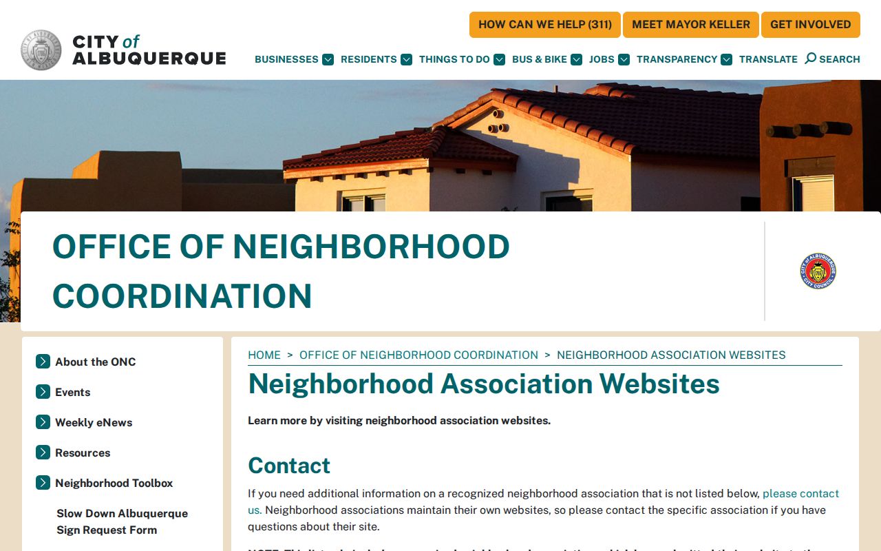
Use a public meeting or contact listing to understand the recognized area. Do not assume a website supplies a household list or request private membership information.
Albuquerque Voter-File Boundaries
New Mexico voter data is controlled public information, not a block-by-block neighbor finder. The Secretary of State describes the SERVIS file as including voter name, address, consented phone number, birth year, party, county, precinct or district data, and voter history. Public voter information includes full name, residence address, precinct, registration date, party affiliation, voting history, and year of birth. The state requires a buyer authorization form for the data product. Its Voter Portal was browser-dependent during research, so no unverified public name-and-address form is claimed here.
| Official record route | Commercial neighbor tools |
|---|---|
| Identifies the custodian, record date, access rule, and correction path. | May combine public and commercial data that can be stale, duplicated, or mismatched. |
| Limits protected fields, including Safe at Home information and non-consented phone numbers. | Cannot remove the underlying access limits or resolve identity from a name alone. |
| Supports a narrow, documented request through the Secretary of State or county elections office. | Should be checked against the original custodian rather than treated as a verified record. |
The New Mexico voter-data information page explains field limits, formats, and current fee rules. Voter history records participation in elections, never a ballot choice.
Albuquerque Custody Routes Stay Separate
Public custody systems are separate from the parcel and civic records used to understand Albuquerque neighbors. The Bernalillo County Metropolitan Detention Center Custody List is a current local custody-screening route. Its details can show booking, holds, case, bail, release, and related labels, but its terms say the information is reference-only. A custody entry does not establish a court disposition, and a name match should be checked against the appropriate court case number rather than used to draw a conclusion about a person or a block.
The Bernalillo County MDC Custody List is the documented county route.
Confirm any time-sensitive custody status with the detention center and keep it separate from ownership, residency, or court-outcome questions.
The New Mexico Corrections Department Offender Search is a state route, not a county route.
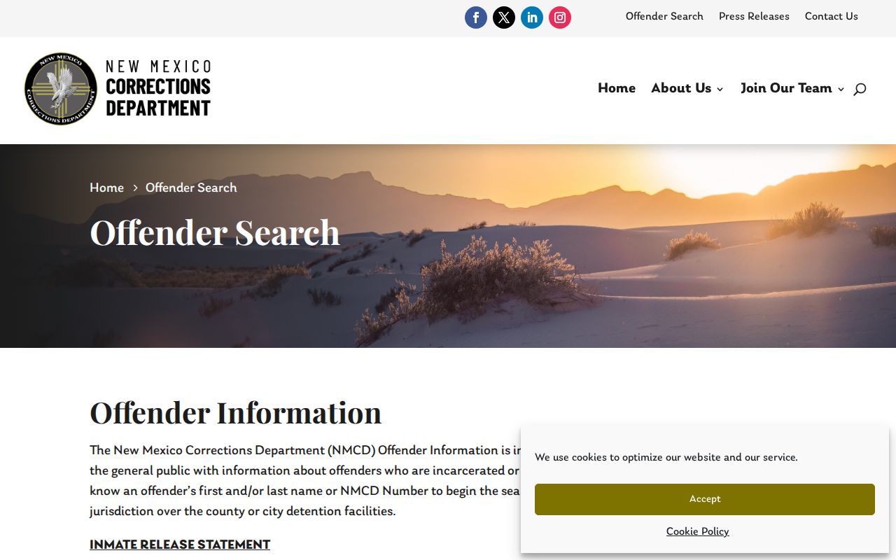
It covers state incarceration, probation, and parole information, while excluding county and city facilities. An absence there cannot be read as an absence from the Bernalillo County custody list.
Historic Albuquerque Block Names
Older Albuquerque block research can fail when a street name is treated as fixed. City historical material records that Railroad Avenue became Central Avenue in 1907, and that Lomas was formerly New York Avenue. Search both forms when comparing a historic directory, map, newspaper, or deed with a modern parcel. The legal description is the strongest bridge when a street label, number, or corner reference is uncertain.
Special Collections, the Albuquerque-Bernalillo County Library digital collection, and the City Museum history-resources guide can supply local directory, map, and newspaper context. A historic source should remain dated context until it aligns with an address, legal description, or other independent record. This distinction prevents an old block reference from being mistaken for a current neighbor record.
Note: A historic street label can be a search term, but it does not replace the parcel’s legal description.
Albuquerque Neighbor Privacy Limits
New Mexico Safe at Home provides qualifying participants with a substitute Secretary of State address and a mail-forwarding route so their actual address remains confidential. Safe at Home information is excluded from the public voter-file version. Court systems also limit personal identifying information and restrict sealed, juvenile, protected, and other categories. Vital records follow their own eligibility rules. A missing address can be a lawful protection or a record-system limit, not evidence that the information is wrong.
New Mexico Inspection of Public Records Act procedures do not override those confidentiality laws. For a documented record error, ask the office that keeps that specific record about its correction or redaction process. The City, County, courts, Secretary of State, and NMDOH each control only their own systems. Keep a request narrow, identify the exact data element, and use the custodian’s official channel.
Lawful use. Use Albuquerque block records for lawful personal research, local history, and civic context. New Mexico law prohibits stalking and harassment, and a public record does not authorize unwanted contact.